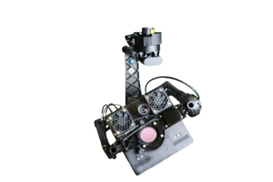
Hyper-Cam Airborne Nano: Hyperspectral Imaging for UAVs and Compact Aerial Platforms
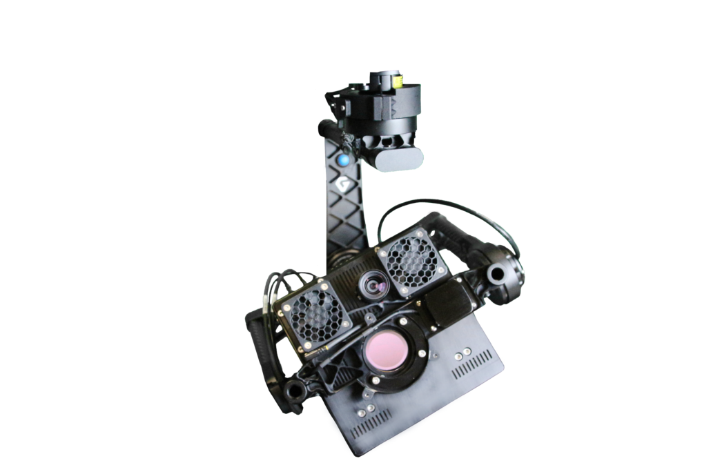
Hyperspectral imaging has traditionally required large, heavy instruments carried by manned aircraft. The Hyper-Cam Airborne Nano from Telops changes that equation — delivering full hyperspectral imaging capability in a compact, lightweight package designed specifically for integration on UAVs and other small aerial platforms, without compromising the measurement performance that demanding applications require.
What Hyperspectral Imaging Adds
A conventional thermal camera captures a single broadband image — useful for detecting temperature differences, but limited in its ability to identify what a target is made of. Hyperspectral imaging captures hundreds of spectral bands across the infrared spectrum simultaneously, producing a data cube that contains both spatial and spectral information for every pixel in the scene. This enables identification of specific gases, minerals, and materials based on their unique spectral signatures — capabilities that thermal imaging alone simply cannot provide.
The Hyper-Cam Airborne Nano
The Hyper-Cam Airborne Nano is a Fourier-transform infrared (FTIR) hyperspectral imaging system operating in the LWIR spectral range (7.4 – 11.8 µm). It combines high spatial, spectral, and temporal resolution in a two-unit modular design — a compact Optical Head and a separate Control Box — that keeps weight and size within the constraints of small UAV platforms while retaining the scientific rigor of a full laboratory instrument.
Key specifications:
- Spectral range: 7.4 – 11.8 µm
- Pixel field of view: 750 µrad
- Total angular range: 13.5° × 10.9°
- Typical NESR: <35 nW/(cm²·sr·cm⁻¹)
- Operational modes: Mapping and Targeting
- Optical Head inclusions: Image motion compensation mirror, boresighted visible camera, GPS/INS+ platform
- Head & platform weight: <20 kg
- Control box weight: <4 kg
- Power consumption: <260 W
Operational Modes
The system supports two modes of acquisition. In Mapping mode, the camera scans across the scene to build a georeferenced hyperspectral data cube suitable for wide-area analysis. In Targeting mode, it focuses on a specific region of interest for detailed spectral analysis and gas identification. An integrated image motion compensation mirror corrects for platform motion, ensuring crisp imagery even in turbulent flight conditions.
The boresighted visible camera and GPS/INS+ platform enable orthorectification and geo-registration of the infrared hyperspectral data, producing outputs that can be overlaid with mapping software for rapid field analysis and reporting.
Applications
The Hyper-Cam Airborne Nano is well suited for:
- Gas detection and identification — real-time detection of industrial gas leaks, emissions monitoring, and chemical identification from the air
- Ground target signature collection — hyperspectral characterization of materials and surfaces for defense and intelligence applications
- Mineral mapping — geological survey and resource identification over large areas
- Environmental monitoring — oil spill detection, vegetation stress analysis, and water quality assessment
Software
The system integrates with Telops’ Reveal Pro 6 scientific software for real-time data acquisition, processing, and analysis — including real-time gas detection, identification, and quantification directly in the field.
For specifications and ordering information, visit our Hyper-Cam Airborne Nano product page or contact us at sales@infraredimaging.com.
